Droylsden Road
Introduction
The photograph on this page of Droylsden Road by Gerald England as part of the Geograph project.
The Geograph project started in 2005 with the aim of publishing, organising and preserving representative images for every square kilometre of Great Britain, Ireland and the Isle of Man.

There are currently over 7.5m images from over 14,400 individuals and you can help contribute to the project by visiting https://www.geograph.org.uk
Droylsden Road
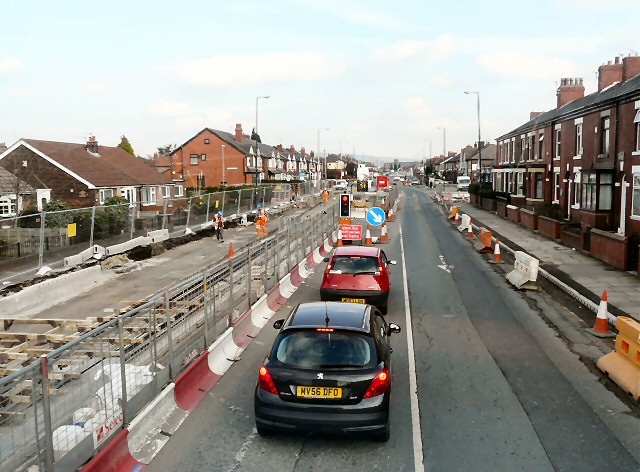
Image: © Gerald England Taken: 1 Mar 2012
Traffic jams on Droylsden Road caused by the Metrolink extension to Ashton under construiction along the A662.
Images are licensed for reuse under creativecommons.org/licenses/by-sa/2.0
Image Location
Latitude
53.478914
Longitude
-2.138885