Western bowling green, Belle Vue Park, Newport
Introduction
The photograph on this page of Western bowling green, Belle Vue Park, Newport by Jaggery as part of the Geograph project.
The Geograph project started in 2005 with the aim of publishing, organising and preserving representative images for every square kilometre of Great Britain, Ireland and the Isle of Man.

There are currently over 7.5m images from over 14,400 individuals and you can help contribute to the project by visiting https://www.geograph.org.uk
Western bowling green, Belle Vue Park, Newport
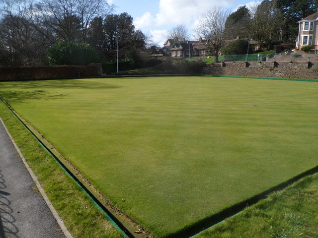
Image: © Jaggery Taken: 3 Mar 2012
This is one of two bowling greens at the Friars Road end of Belle Vue Park. The green is a square with sides of 40 metres. Generally, greens are built square and as close to 40 metres as possible. This enables games to be played in either direction. Playing in different directions evens out the wear on the green. In addition, the bowlers do not need to face into the sun when playing. In the distance is Friars Road and Burton Alms Houses. http://www.geograph.org.uk/photo/1472559
Images are licensed for reuse under creativecommons.org/licenses/by-sa/2.0
Image Location
Latitude
51.58027
Longitude
-3.002954