Landscaped grounds of the Royal Wolverhampton School
Introduction
The photograph on this page of Landscaped grounds of the Royal Wolverhampton School by Roger D Kidd as part of the Geograph project.
The Geograph project started in 2005 with the aim of publishing, organising and preserving representative images for every square kilometre of Great Britain, Ireland and the Isle of Man.

There are currently over 7.5m images from over 14,400 individuals and you can help contribute to the project by visiting https://www.geograph.org.uk
Landscaped grounds of the Royal Wolverhampton School
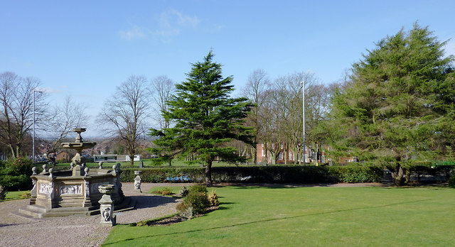
Image: © Roger D Kidd Taken: 25 Feb 2012
The Grade II listed fountain and urn are on the right. Behind the hedge is the A449 Penn Road (Kidderminster to the left, Wolverhampton to the right). Beyond that, are the cricket field and the buildings of the primary and pre-school departments. Image]
Images are licensed for reuse under creativecommons.org/licenses/by-sa/2.0
Image Location
Latitude
52.572423
Longitude
-2.138757