Grade II listed The Friars, Newport
Introduction
The photograph on this page of Grade II listed The Friars, Newport by Jaggery as part of the Geograph project.
The Geograph project started in 2005 with the aim of publishing, organising and preserving representative images for every square kilometre of Great Britain, Ireland and the Isle of Man.

There are currently over 7.5m images from over 14,400 individuals and you can help contribute to the project by visiting https://www.geograph.org.uk
Grade II listed The Friars, Newport
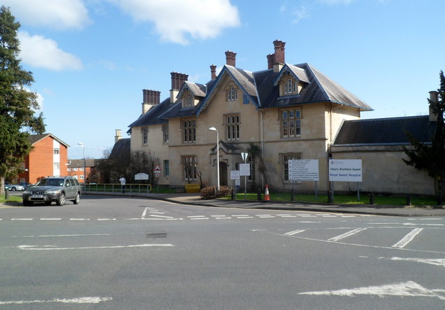
Image: © Jaggery Taken: 3 Mar 2012
Located on the corner of Friars Field and Friars Road, between St Woolos Hospital and the Royal Gwent Hospital. Built as a private dwelling house in the Victorian era, it is now a postgraduate medical and dental education centre. Grade II listed in February 1980.
Images are licensed for reuse under creativecommons.org/licenses/by-sa/2.0
Image Location
Latitude
51.581181
Longitude
-3.001531