The Lodge [1]
Introduction
The photograph on this page of The Lodge [1] by Michael Dibb as part of the Geograph project.
The Geograph project started in 2005 with the aim of publishing, organising and preserving representative images for every square kilometre of Great Britain, Ireland and the Isle of Man.

There are currently over 7.5m images from over 14,400 individuals and you can help contribute to the project by visiting https://www.geograph.org.uk
The Lodge [1]
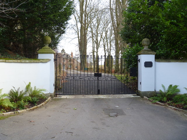
Image: © Michael Dibb Taken: 8 Jan 2012
This entrance gateway is the front entrance. Part of the house known as The Lodge can be seen through the gate. A second house, The Cottage, is, unseen, to the right.
Images are licensed for reuse under creativecommons.org/licenses/by-sa/2.0
Image Location


Leaflet Map data © OpenStreetMap
Latitude
51.949098
Longitude
-1.445321