Church Road
Introduction
The photograph on this page of Church Road by Martin Addison as part of the Geograph project.
The Geograph project started in 2005 with the aim of publishing, organising and preserving representative images for every square kilometre of Great Britain, Ireland and the Isle of Man.

There are currently over 7.5m images from over 14,400 individuals and you can help contribute to the project by visiting https://www.geograph.org.uk
Church Road
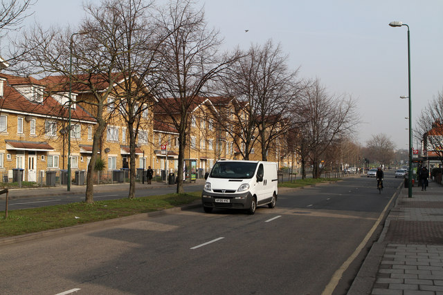
Image: © Martin Addison Taken: 1 Mar 2012
This straight dual carriageway section of the A407 seems slightly incongruous in an area of shopping parades and terraced housing. The road was widened in the early 1970's as part of a redevelopment of the area to the west of the road with low-rise maisonette style housing.
Images are licensed for reuse under creativecommons.org/licenses/by-sa/2.0
Image Location
Latitude
51.545467
Longitude
-0.252125