Hemington: near Faulkland
Introduction
The photograph on this page of Hemington: near Faulkland by Martin Bodman as part of the Geograph project.
The Geograph project started in 2005 with the aim of publishing, organising and preserving representative images for every square kilometre of Great Britain, Ireland and the Isle of Man.

There are currently over 7.5m images from over 14,400 individuals and you can help contribute to the project by visiting https://www.geograph.org.uk
Hemington: near Faulkland
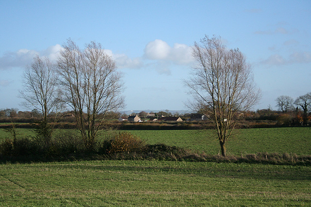
Image: © Martin Bodman Taken: 23 Nov 2006
Looking east-south-east towards cottages on the A366 Norton St Philip road. The Westbury White Horse is just visible on the far hill, over the border in Wiltshire
Images are licensed for reuse under creativecommons.org/licenses/by-sa/2.0
Image Location
Latitude
51.294439
Longitude
-2.371402