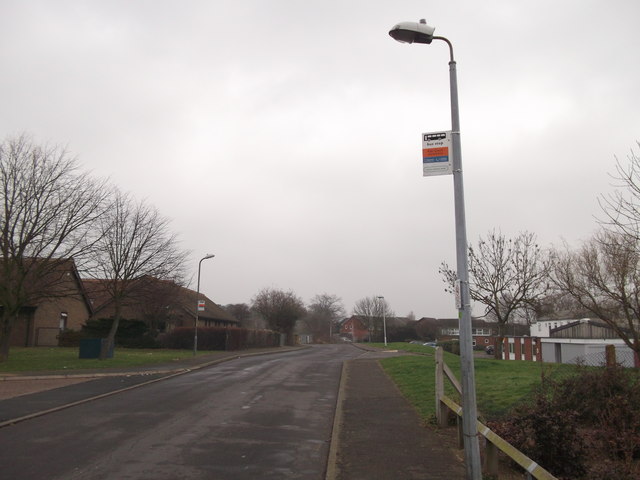
Unused bus stops on Lower Road, Faversham
Introduction
The photograph on this page of Unused bus stops on Lower Road, Faversham by David Anstiss as part of the Geograph project.
The Geograph project started in 2005 with the aim of publishing, organising and preserving representative images for every square kilometre of Great Britain, Ireland and the Isle of Man.
There are currently over 7.5m images from over 14,400 individuals and you can help contribute to the project by visiting https://www.geograph.org.uk

Image: © David Anstiss Taken: 3 Mar 2012
These two bus stops are on the Stagecoach Bus route 3 or 3X. The one on the left is the terminus stop. The one on the right is the starting point (after the bus has turned around). The only problem, where does the bus turn? On the left is the entrance to a care home, on the right is the entrance to a social services home, and at the end of the short road is a primary school. During the week, this road is full of parked cars (at certain times) and it is also difficult (and dangerous for the double-decker bus to turn)! So Stagecoach, have decided to not use this small section of road and bus stops. They turn at the junction of Lower road and Sumpter Way. Annoyingly, the application to re-position these bus stops takes at least 6 months to complete. Due to the fact it is altering the bus route... even if only by several 100 metres!
Image Location


