Alliance House, North John Street, Liverpool
Introduction
The photograph on this page of Alliance House, North John Street, Liverpool by Stephen Richards as part of the Geograph project.
The Geograph project started in 2005 with the aim of publishing, organising and preserving representative images for every square kilometre of Great Britain, Ireland and the Isle of Man.

There are currently over 7.5m images from over 14,400 individuals and you can help contribute to the project by visiting https://www.geograph.org.uk
Alliance House, North John Street, Liverpool
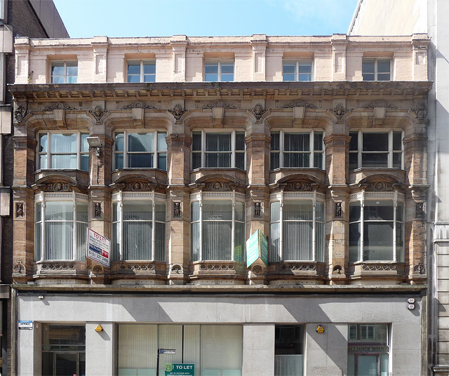
Image: © Stephen Richards Taken: 26 Jul 2011
The ground floor is late-C20th, but above is an attractive Edwardian or perhaps late Victorian facade. Canted windows with very slender mullions (which makes the building look ahead of its time), carved heads above and small inset carved figures between them. At the time of the photo none of the building's office space was used.
Images are licensed for reuse under creativecommons.org/licenses/by-sa/2.0
Image Location
Latitude
53.406672
Longitude
-2.989294