Council Offices, WGC
Introduction
The photograph on this page of Council Offices, WGC by Paul Shreeve as part of the Geograph project.
The Geograph project started in 2005 with the aim of publishing, organising and preserving representative images for every square kilometre of Great Britain, Ireland and the Isle of Man.

There are currently over 7.5m images from over 14,400 individuals and you can help contribute to the project by visiting https://www.geograph.org.uk
Council Offices, WGC
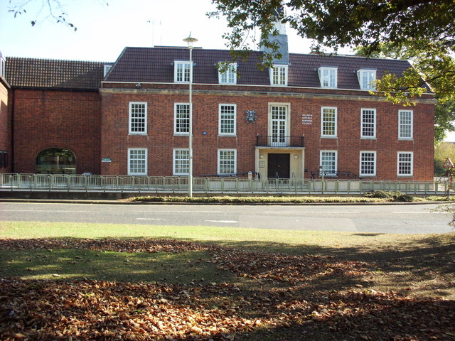
Image: © Paul Shreeve Taken: 22 Oct 2011
Opened in 1937, expanded into the original fire station area in 1978
Images are licensed for reuse under creativecommons.org/licenses/by-sa/2.0
Image Location
Latitude
51.80401
Longitude
-0.205592