A straight on the A267
Introduction
The photograph on this page of A straight on the A267 by Robin Webster as part of the Geograph project.
The Geograph project started in 2005 with the aim of publishing, organising and preserving representative images for every square kilometre of Great Britain, Ireland and the Isle of Man.

There are currently over 7.5m images from over 14,400 individuals and you can help contribute to the project by visiting https://www.geograph.org.uk
A straight on the A267
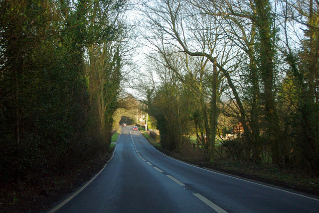
Image: © Robin Webster Taken: 3 Mar 2012
The A267 road from Eastbourne to Tunbridge Wells, although looking straight here, overall takes a rather indirect course through the High Weald. It is pieced together from segments of a network of lanes created by folk who had no interest in going from Eastbourne to Tunbridge Wells, or from Tunbridge Wells to Eastbourne.
Images are licensed for reuse under creativecommons.org/licenses/by-sa/2.0
Image Location
Latitude
51.009305
Longitude
0.229576