Black Brook, School Lane, Hints
Introduction
The photograph on this page of Black Brook, School Lane, Hints by Mick Malpass as part of the Geograph project.
The Geograph project started in 2005 with the aim of publishing, organising and preserving representative images for every square kilometre of Great Britain, Ireland and the Isle of Man.

There are currently over 7.5m images from over 14,400 individuals and you can help contribute to the project by visiting https://www.geograph.org.uk
Black Brook, School Lane, Hints
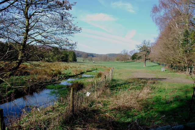
Image: © Mick Malpass Taken: 1 Mar 2012
This brook changes from Black Brook to Bourne Brook, but not sure where. There is a lovely crop of watercress just starting to show in this side channel.
Images are licensed for reuse under creativecommons.org/licenses/by-sa/2.0
Image Location
Latitude
52.621473
Longitude
-1.764942