Camberley Crescent View
Introduction
The photograph on this page of Camberley Crescent View by Gordon Griffiths as part of the Geograph project.
The Geograph project started in 2005 with the aim of publishing, organising and preserving representative images for every square kilometre of Great Britain, Ireland and the Isle of Man.

There are currently over 7.5m images from over 14,400 individuals and you can help contribute to the project by visiting https://www.geograph.org.uk
Camberley Crescent View
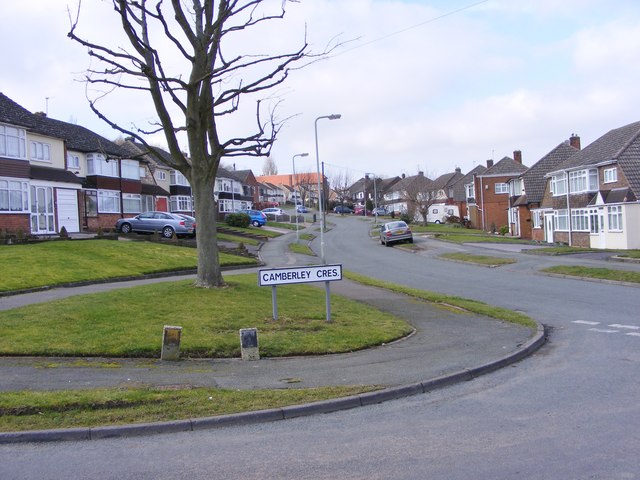
Image: © Gordon Griffiths Taken: 29 Feb 2012
The view up Farrington Road on Ettingshall Park on the side of Sedgley Beacon the highest point in Wolverhampton.
Images are licensed for reuse under creativecommons.org/licenses/by-sa/2.0
Image Location
Latitude
52.55063
Longitude
-2.114546