Wat's Dyke
Introduction
The photograph on this page of Wat's Dyke by John S Turner as part of the Geograph project.
The Geograph project started in 2005 with the aim of publishing, organising and preserving representative images for every square kilometre of Great Britain, Ireland and the Isle of Man.

There are currently over 7.5m images from over 14,400 individuals and you can help contribute to the project by visiting https://www.geograph.org.uk
Wat's Dyke
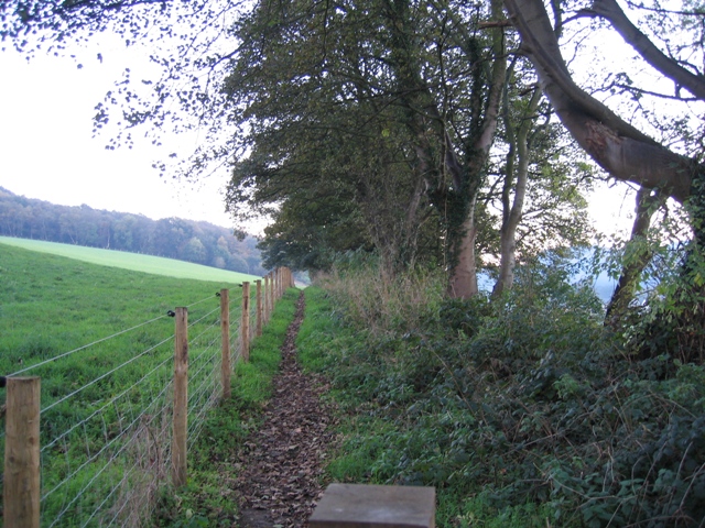
Image: © John S Turner Taken: 6 Nov 2006
It's not obvious, but this footpath runs along the top of the ancient boundary known as Wat's Dyke. On the other side of the trees on the right, there is a significant drop to the field below.
Images are licensed for reuse under creativecommons.org/licenses/by-sa/2.0
Image Location
Latitude
53.112914
Longitude
-3.030793