Almshouses, Great Wishford
Introduction
The photograph on this page of Almshouses, Great Wishford by Helen Hanley as part of the Geograph project.
The Geograph project started in 2005 with the aim of publishing, organising and preserving representative images for every square kilometre of Great Britain, Ireland and the Isle of Man.

There are currently over 7.5m images from over 14,400 individuals and you can help contribute to the project by visiting https://www.geograph.org.uk
Almshouses, Great Wishford
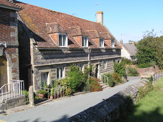
Image: © Helen Hanley Taken: 8 Aug 2005
The picture is taken from the churchyard across the road. Next door to the houses is the school. The main road is the other side of the river from this village, which has allowed it to maintain a certain timeless quality
Images are licensed for reuse under creativecommons.org/licenses/by-sa/2.0
Image Location


Leaflet Map data © OpenStreetMap
Latitude
51.118734
Longitude
-1.888509