Jesmond Road, Exeter
Introduction
The photograph on this page of Jesmond Road, Exeter by Derek Harper as part of the Geograph project.
The Geograph project started in 2005 with the aim of publishing, organising and preserving representative images for every square kilometre of Great Britain, Ireland and the Isle of Man.

There are currently over 7.5m images from over 14,400 individuals and you can help contribute to the project by visiting https://www.geograph.org.uk
Jesmond Road, Exeter
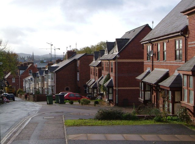
Image: © Derek Harper Taken: 13 Nov 2006
Modern semis, then an inter-war terrace, and in the distance the United Reformed church spire and the cathedral towers, plus the cranes at the Princesshay redevelopment. Bit of a blockage at the bottom of the road. Taken from Polsloe Road.
Images are licensed for reuse under creativecommons.org/licenses/by-sa/2.0
Image Location
Latitude
50.728571
Longitude
-3.51457