Towards the Yarty valley
Introduction
The photograph on this page of Towards the Yarty valley by Derek Harper as part of the Geograph project.
The Geograph project started in 2005 with the aim of publishing, organising and preserving representative images for every square kilometre of Great Britain, Ireland and the Isle of Man.

There are currently over 7.5m images from over 14,400 individuals and you can help contribute to the project by visiting https://www.geograph.org.uk
Towards the Yarty valley
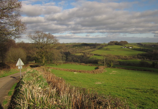
Image: © Derek Harper Taken: 25 Feb 2012
The lane descends the western slopes of the Yarty valley. Cinder Hill Farm, across the valley on the right, is in Image, as is the woodland left of centre on Longlie Common.
Images are licensed for reuse under creativecommons.org/licenses/by-sa/2.0
Image Location
Latitude
50.896329
Longitude
-3.06355