The Croft Burn, Holywood (3)
Introduction
The photograph on this page of The Croft Burn, Holywood (3) by Albert Bridge as part of the Geograph project.
The Geograph project started in 2005 with the aim of publishing, organising and preserving representative images for every square kilometre of Great Britain, Ireland and the Isle of Man.

There are currently over 7.5m images from over 14,400 individuals and you can help contribute to the project by visiting https://www.geograph.org.uk
The Croft Burn, Holywood (3)
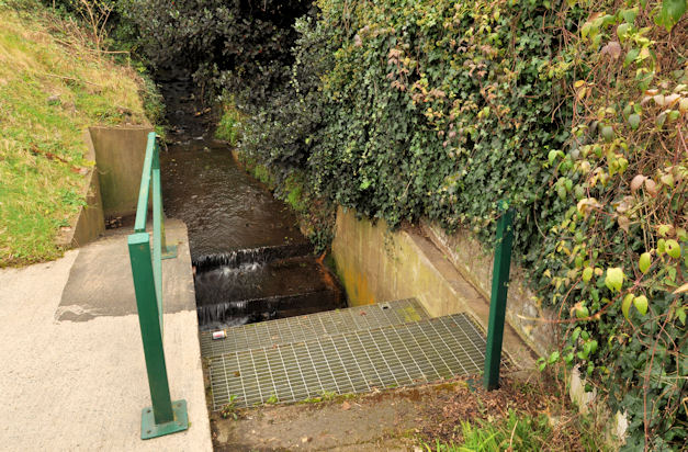
Image: © Albert Bridge Taken: 2 Mar 2012
See Image Slightly further upstream, the Croft Burn about to pass under the Croft Road Image The Google map shows this as “Bangor Road”. The 1:10,000 map and the road sign Image show “Croft Road”.
Images are licensed for reuse under creativecommons.org/licenses/by-sa/2.0
Image Location
Latitude
54.644281
Longitude
-5.825745