Booby's Bay near high tide
Introduction
The photograph on this page of Booby's Bay near high tide by David Hawgood as part of the Geograph project.
The Geograph project started in 2005 with the aim of publishing, organising and preserving representative images for every square kilometre of Great Britain, Ireland and the Isle of Man.

There are currently over 7.5m images from over 14,400 individuals and you can help contribute to the project by visiting https://www.geograph.org.uk
Booby's Bay near high tide
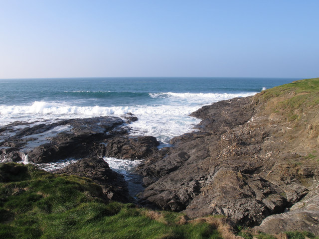
Image: © David Hawgood Taken: 29 Feb 2012
At high tide the sand of Booby's Bay is covered and the surf breaks on the rocks. They are predominantly Devonian slate, strata near horizontal.
Images are licensed for reuse under creativecommons.org/licenses/by-sa/2.0
Image Location


Leaflet Map data © OpenStreetMap
Latitude
50.541318
Longitude
-5.026977