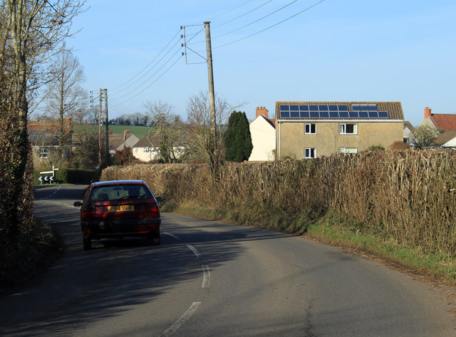
2012 : B3114 approaching Litton from the south
Introduction
The photograph on this page of 2012 : B3114 approaching Litton from the south by Maurice Pullin as part of the Geograph project.
The Geograph project started in 2005 with the aim of publishing, organising and preserving representative images for every square kilometre of Great Britain, Ireland and the Isle of Man.
There are currently over 7.5m images from over 14,400 individuals and you can help contribute to the project by visiting https://www.geograph.org.uk

Image: © Maurice Pullin Taken: 26 Feb 2012
"Litton was listed in the Domesday Book of 1086 as Litune, meaning 'The small enclosure' from the Old English lyt and tun. It was the property of Gisa, Bishop of Wells. The shape of some of the existing fields with cross-slope and down-slope field banks and cultivated ridges forming an interleaving irregular mosaic suggest they are of medieval origin." Copied from http://en.wikipedia.org/wiki/Litton,_Somerset
Image Location


