2012 : B3114 Lower Street, Chewton Mendip
Introduction
The photograph on this page of 2012 : B3114 Lower Street, Chewton Mendip by Maurice Pullin as part of the Geograph project.
The Geograph project started in 2005 with the aim of publishing, organising and preserving representative images for every square kilometre of Great Britain, Ireland and the Isle of Man.

There are currently over 7.5m images from over 14,400 individuals and you can help contribute to the project by visiting https://www.geograph.org.uk
2012 : B3114 Lower Street, Chewton Mendip
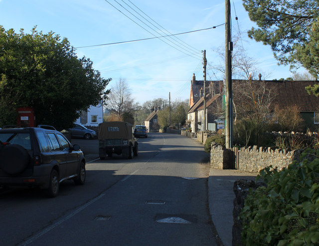
Image: © Maurice Pullin Taken: 26 Feb 2012
Heading north west to Litton and Chewton Mendip. The source of the River Chew is near here. Wikipedia says "There were several lead mines and stone quarries in the parish.", "On 12 June 1643 the village was the site of a skirmish in the English Civil War, between Royalist forces led by Robert Dormer, 1st Earl of Carnarvon and the parliamentary forces under William Waller including the cavalry unit of Sir Arthur Haselrig known as Haselrig's lobsters." and "The Mendip Engineering Company Ltd was based in Chewton Mendip around the time of World War I. It was originally founded in the early 19th century as Cutler's Green Ironworks and supplied the British Army with swords." among other things.
Images are licensed for reuse under creativecommons.org/licenses/by-sa/2.0
Image Location
Latitude
51.277053
Longitude
-2.578566