Marjorie Kelly Way in the centre of Ivybridge
Introduction
The photograph on this page of Marjorie Kelly Way in the centre of Ivybridge by David Smith as part of the Geograph project.
The Geograph project started in 2005 with the aim of publishing, organising and preserving representative images for every square kilometre of Great Britain, Ireland and the Isle of Man.

There are currently over 7.5m images from over 14,400 individuals and you can help contribute to the project by visiting https://www.geograph.org.uk
Marjorie Kelly Way in the centre of Ivybridge
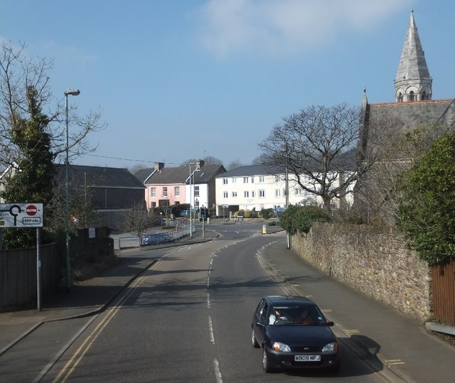
Image: © David Smith Taken: 29 Feb 2012
This inner bypass takes through traffic away from Fore Street in the centre
Images are licensed for reuse under creativecommons.org/licenses/by-sa/2.0
Image Location
Latitude
50.387792
Longitude
-3.923182