Leat alongside Paignton Community College, Totnes Road
Introduction
The photograph on this page of Leat alongside Paignton Community College, Totnes Road by Tom Jolliffe as part of the Geograph project.
The Geograph project started in 2005 with the aim of publishing, organising and preserving representative images for every square kilometre of Great Britain, Ireland and the Isle of Man.

There are currently over 7.5m images from over 14,400 individuals and you can help contribute to the project by visiting https://www.geograph.org.uk
Leat alongside Paignton Community College, Totnes Road
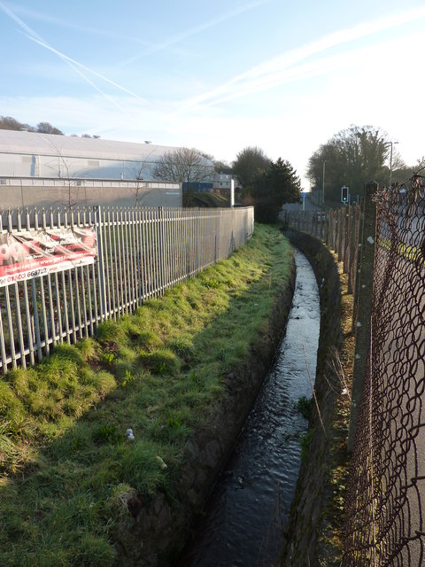
Image: © Tom Jolliffe Taken: 26 Feb 2012
This leat or channelled stream is very well concealed from the casual observer. To the motorist on the very busy Totnes Road opposite Paignton Zoo it is invisible as it is so far below the level of the road. The Community and Sports College is on the left.
Images are licensed for reuse under creativecommons.org/licenses/by-sa/2.0
Image Location
Latitude
50.428961
Longitude
-3.58482