White House Farm, Bozeat
Introduction
The photograph on this page of White House Farm, Bozeat by Nigel Stickells as part of the Geograph project.
The Geograph project started in 2005 with the aim of publishing, organising and preserving representative images for every square kilometre of Great Britain, Ireland and the Isle of Man.

There are currently over 7.5m images from over 14,400 individuals and you can help contribute to the project by visiting https://www.geograph.org.uk
White House Farm, Bozeat
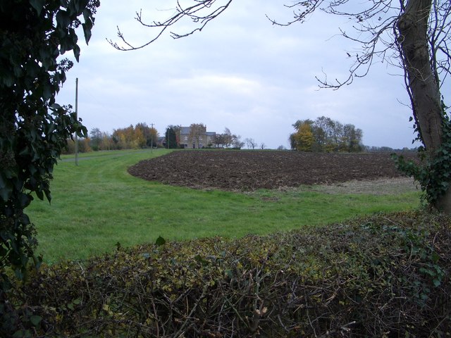
Image: © Nigel Stickells Taken: 15 Nov 2006
This view looking to the southeast is from the London Road leading south out of Bozeat. The owner is a keen wildlife conservationist, partly evidenced by the wide field margins around the ploughed field.
Images are licensed for reuse under creativecommons.org/licenses/by-sa/2.0
Image Location


Leaflet Map data © OpenStreetMap
Latitude
52.21456
Longitude
-0.673888