Old Stables at Cranford Park House
Introduction
The photograph on this page of Old Stables at Cranford Park House by Des Blenkinsopp as part of the Geograph project.
The Geograph project started in 2005 with the aim of publishing, organising and preserving representative images for every square kilometre of Great Britain, Ireland and the Isle of Man.

There are currently over 7.5m images from over 14,400 individuals and you can help contribute to the project by visiting https://www.geograph.org.uk
Old Stables at Cranford Park House
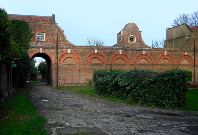
Image: © Des Blenkinsopp Taken: 25 Nov 2011
The house itself was demolished in 1945, but this block is still here in a reasonable condition. The stone sett road survives as well in between the potholes and drain covers. The London Loop path goes under the arch. The green Loop waymark sign is visible on the pole. The clock's not going.
Images are licensed for reuse under creativecommons.org/licenses/by-sa/2.0
Image Location
Latitude
51.492034
Longitude
-0.415361