The North Circular Road by Henlys Corner
Introduction
The photograph on this page of The North Circular Road by Henlys Corner by David Howard as part of the Geograph project.
The Geograph project started in 2005 with the aim of publishing, organising and preserving representative images for every square kilometre of Great Britain, Ireland and the Isle of Man.

There are currently over 7.5m images from over 14,400 individuals and you can help contribute to the project by visiting https://www.geograph.org.uk
The North Circular Road by Henlys Corner
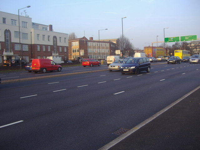
Image: © David Howard Taken: 1 Mar 2012
Henlys corner was rebuilt in December 2011 to add a left filter here and turn to turn right from the east. To be honest it doesn't seem to have made the slightest bit of difference to the congestion during the busy times of the day. Kinloss Gardens synagogue (official name Finchley) is seen next to the flats.
Images are licensed for reuse under creativecommons.org/licenses/by-sa/2.0
Image Location
Latitude
51.589502
Longitude
-0.202652