East Stoke, depot
Introduction
The photograph on this page of East Stoke, depot by Mike Faherty as part of the Geograph project.
The Geograph project started in 2005 with the aim of publishing, organising and preserving representative images for every square kilometre of Great Britain, Ireland and the Isle of Man.

There are currently over 7.5m images from over 14,400 individuals and you can help contribute to the project by visiting https://www.geograph.org.uk
East Stoke, depot
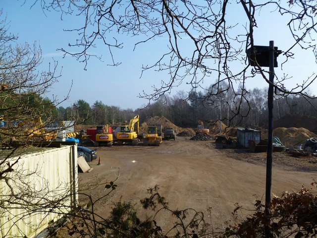
Image: © Mike Faherty Taken: 1 Mar 2012
On the site of a disused pit; now used as depot for machinery and aggregates from nearby pits. http://www.andrewsplant.co.uk/index.html
Images are licensed for reuse under creativecommons.org/licenses/by-sa/2.0
Image Location
Latitude
50.706121
Longitude
-2.208122