Penarth Dock Re-Development
Introduction
The photograph on this page of Penarth Dock Re-Development by Tony Hodge as part of the Geograph project.
The Geograph project started in 2005 with the aim of publishing, organising and preserving representative images for every square kilometre of Great Britain, Ireland and the Isle of Man.

There are currently over 7.5m images from over 14,400 individuals and you can help contribute to the project by visiting https://www.geograph.org.uk
Penarth Dock Re-Development
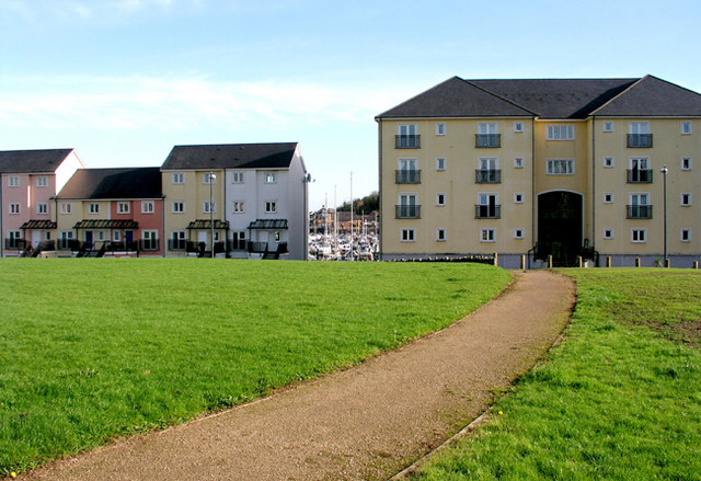
Image: © Tony Hodge Taken: 9 Nov 2006
These apartments overlook to the front an old portion of Penarth Dock which is now a pleasure craft marina and at the rear a now filled portion of the old dock.
Images are licensed for reuse under creativecommons.org/licenses/by-sa/2.0
Image Location
Latitude
51.445602
Longitude
-3.174114