Lane junction near Higher Southey Farm
Introduction
The photograph on this page of Lane junction near Higher Southey Farm by Derek Harper as part of the Geograph project.
The Geograph project started in 2005 with the aim of publishing, organising and preserving representative images for every square kilometre of Great Britain, Ireland and the Isle of Man.

There are currently over 7.5m images from over 14,400 individuals and you can help contribute to the project by visiting https://www.geograph.org.uk
Lane junction near Higher Southey Farm
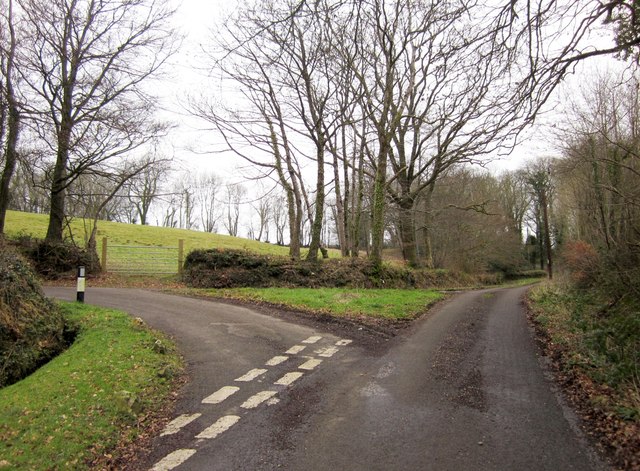
Image: © Derek Harper Taken: 25 Feb 2012
Past the grass triangle, Buttle's Lane continues up to the plateau and Buttle's Cross. The left turn is to Cleve Farm. This is an obscure part of the Blackdown Hills on the Somerset / Devon border, but quite well populated.
Images are licensed for reuse under creativecommons.org/licenses/by-sa/2.0
Image Location
Latitude
50.899126
Longitude
-3.147941