Boundary stone
Introduction
The photograph on this page of Boundary stone by Jonathan Kington as part of the Geograph project.
The Geograph project started in 2005 with the aim of publishing, organising and preserving representative images for every square kilometre of Great Britain, Ireland and the Isle of Man.

There are currently over 7.5m images from over 14,400 individuals and you can help contribute to the project by visiting https://www.geograph.org.uk
Boundary stone
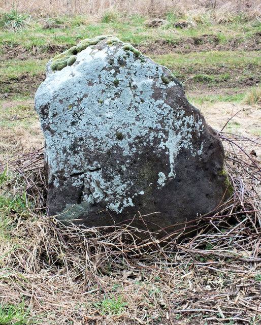
Image: © Jonathan Kington Taken: 28 Feb 2012
The boundary stone is on the Image below Toyd Down, there is an Ordnance Survey benchmark near the bottom left corner. For further information on the cut mark visit http://www.bench-marks.org.uk/bm41654 .
Images are licensed for reuse under creativecommons.org/licenses/by-sa/2.0
Image Location
Latitude
50.984467
Longitude
-1.874014