Sunnyside Street
Introduction
The photograph on this page of Sunnyside Street by Eric Jones as part of the Geograph project.
The Geograph project started in 2005 with the aim of publishing, organising and preserving representative images for every square kilometre of Great Britain, Ireland and the Isle of Man.

There are currently over 7.5m images from over 14,400 individuals and you can help contribute to the project by visiting https://www.geograph.org.uk
Sunnyside Street
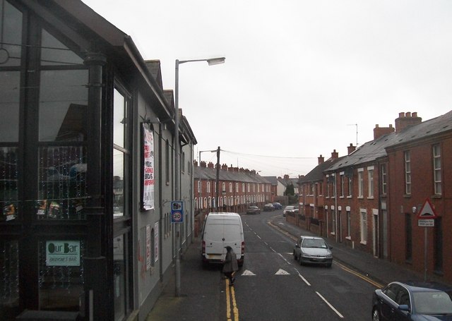
Image: © Eric Jones Taken: 15 Feb 2012
This is the leading artery in the area between Ormeau Road and the Adelaide Embankment. It is linked to the west bank of the Lagan by the King's Bridge.
Images are licensed for reuse under creativecommons.org/licenses/by-sa/2.0
Image Location
Latitude
54.575548
Longitude
-5.917876