East Mere : Country Road
Introduction
The photograph on this page of East Mere : Country Road by Lewis Clarke as part of the Geograph project.
The Geograph project started in 2005 with the aim of publishing, organising and preserving representative images for every square kilometre of Great Britain, Ireland and the Isle of Man.

There are currently over 7.5m images from over 14,400 individuals and you can help contribute to the project by visiting https://www.geograph.org.uk
East Mere : Country Road
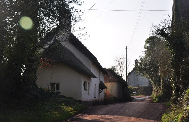
Image: © Lewis Clarke Taken: 29 Feb 2012
A country road heading past the hamlet of East Mere with the dairy farmhouse in view.
Images are licensed for reuse under creativecommons.org/licenses/by-sa/2.0
Image Location


Leaflet Map data © OpenStreetMap
Latitude
50.935963
Longitude
-3.428079