Byway to Tidpit
Introduction
The photograph on this page of Byway to Tidpit by Maigheach-gheal as part of the Geograph project.
The Geograph project started in 2005 with the aim of publishing, organising and preserving representative images for every square kilometre of Great Britain, Ireland and the Isle of Man.

There are currently over 7.5m images from over 14,400 individuals and you can help contribute to the project by visiting https://www.geograph.org.uk
Byway to Tidpit
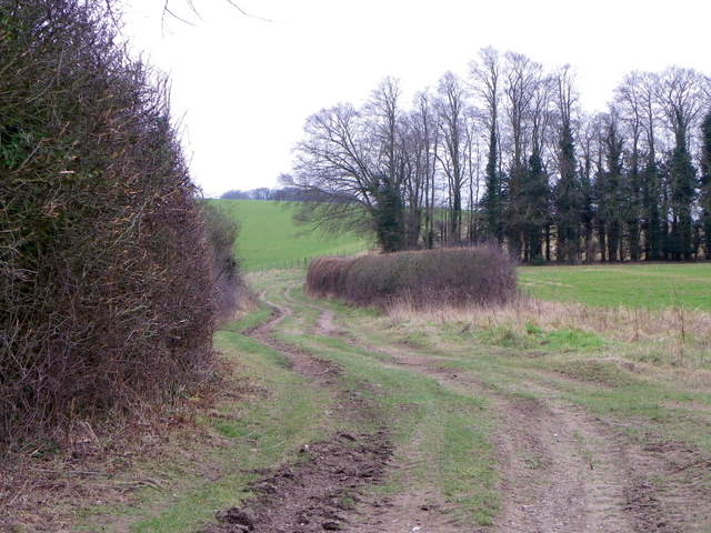
Image: © Maigheach-gheal Taken: 28 Feb 2012
The byway to Toyd Down and Tidpit continues towards a shelter belt having passed Toyd Farm.
Images are licensed for reuse under creativecommons.org/licenses/by-sa/2.0
Image Location
Latitude
50.984827
Longitude
-1.874156