Hedgerow near Toyd Farm
Introduction
The photograph on this page of Hedgerow near Toyd Farm by Maigheach-gheal as part of the Geograph project.
The Geograph project started in 2005 with the aim of publishing, organising and preserving representative images for every square kilometre of Great Britain, Ireland and the Isle of Man.

There are currently over 7.5m images from over 14,400 individuals and you can help contribute to the project by visiting https://www.geograph.org.uk
Hedgerow near Toyd Farm
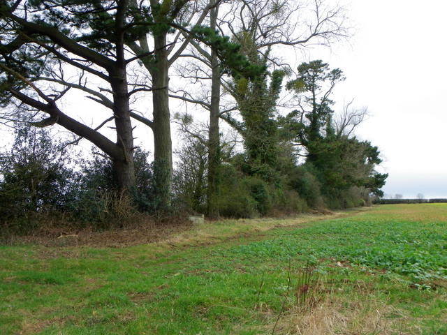
Image: © Maigheach-gheal Taken: 28 Feb 2012
It is difficult to date hedges unless there is documentary evidence as to their planting, but one theory is to count the species in a 30 metre stretch and each species counts as a century. Only count older plants and not saplings.
Images are licensed for reuse under creativecommons.org/licenses/by-sa/2.0
Image Location
Latitude
50.990313
Longitude
-1.875281