Disused Wharf at New Holland Dock
Introduction
The photograph on this page of Disused Wharf at New Holland Dock by David Wright as part of the Geograph project.
The Geograph project started in 2005 with the aim of publishing, organising and preserving representative images for every square kilometre of Great Britain, Ireland and the Isle of Man.

There are currently over 7.5m images from over 14,400 individuals and you can help contribute to the project by visiting https://www.geograph.org.uk
Disused Wharf at New Holland Dock
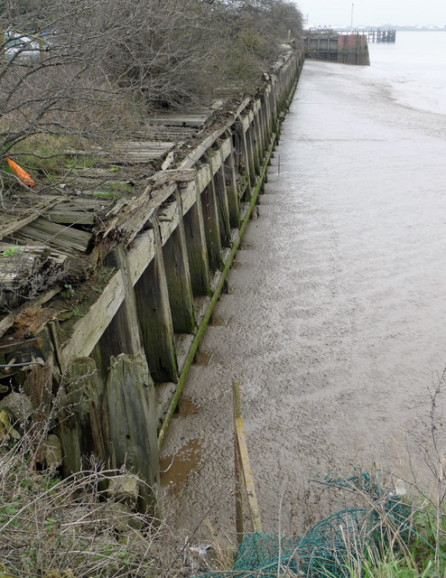
Image: © David Wright Taken: 29 Feb 2012
The wharf on the western side of New Holland Dock is no longer used.
Images are licensed for reuse under creativecommons.org/licenses/by-sa/2.0
Image Location
Latitude
53.704644
Longitude
-0.362229