Bodham's, Hemyock
Introduction
The photograph on this page of Bodham's, Hemyock by Derek Harper as part of the Geograph project.
The Geograph project started in 2005 with the aim of publishing, organising and preserving representative images for every square kilometre of Great Britain, Ireland and the Isle of Man.

There are currently over 7.5m images from over 14,400 individuals and you can help contribute to the project by visiting https://www.geograph.org.uk
Bodham's, Hemyock
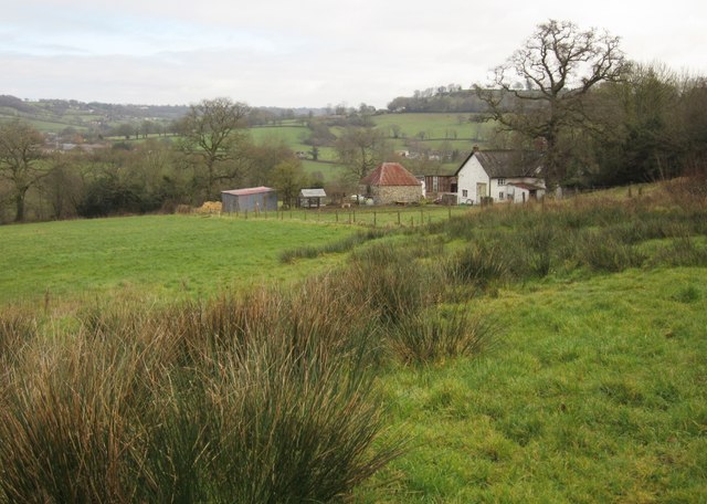
Image: © Derek Harper Taken: 25 Feb 2012
From Hemyock Footpath 33 as it passes the farm. The farmhouse is listed - see http://www.britishlistedbuildings.co.uk/en-95690-bodham-s-hemyock . In the background is the Madford River valley.
Images are licensed for reuse under creativecommons.org/licenses/by-sa/2.0
Image Location


Leaflet Map data © OpenStreetMap
Latitude
50.908364
Longitude
-3.221277