On the Cuckoo Way
Introduction
The photograph on this page of On the Cuckoo Way by Graham Hogg as part of the Geograph project.
The Geograph project started in 2005 with the aim of publishing, organising and preserving representative images for every square kilometre of Great Britain, Ireland and the Isle of Man.

There are currently over 7.5m images from over 14,400 individuals and you can help contribute to the project by visiting https://www.geograph.org.uk
On the Cuckoo Way
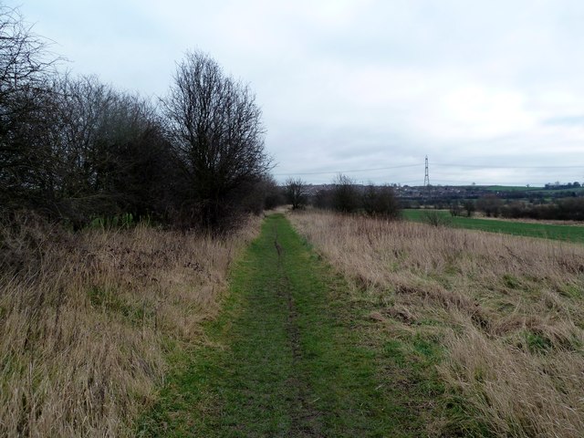
Image: © Graham Hogg Taken: 28 Feb 2012
The Cuckoo Way is a 46 mile waymarked trail that follows the route of the Chesterfield Canal from Chesterfield to the River Trent at West Stockwith. It takes its name from a type of boat that once worked the canal. This section of the canal has long been disused and filled in but the Chesterfield Canal Trust are working on a restoration project.
Images are licensed for reuse under creativecommons.org/licenses/by-sa/2.0
Image Location
Latitude
53.27385
Longitude
-1.340457