Conigar Lane
Introduction
The photograph on this page of Conigar Lane by Derek Harper as part of the Geograph project.
The Geograph project started in 2005 with the aim of publishing, organising and preserving representative images for every square kilometre of Great Britain, Ireland and the Isle of Man.

There are currently over 7.5m images from over 14,400 individuals and you can help contribute to the project by visiting https://www.geograph.org.uk
Conigar Lane
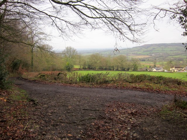
Image: © Derek Harper Taken: 25 Feb 2012
Followed by a route with public access, the lane seen in Image passes the foot of Hemyock Bridleway 22 (foreground). Across the field are Brownings and Tedburrow Farms.
Images are licensed for reuse under creativecommons.org/licenses/by-sa/2.0
Image Location
Latitude
50.908671
Longitude
-3.243331