Commercial Road houses, Llanhilleth
Introduction
The photograph on this page of Commercial Road houses, Llanhilleth by Jaggery as part of the Geograph project.
The Geograph project started in 2005 with the aim of publishing, organising and preserving representative images for every square kilometre of Great Britain, Ireland and the Isle of Man.

There are currently over 7.5m images from over 14,400 individuals and you can help contribute to the project by visiting https://www.geograph.org.uk
Commercial Road houses, Llanhilleth
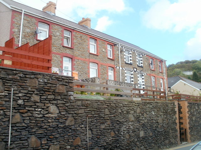
Image: © Jaggery Taken: 6 Oct 2011
These houses, immediately west of the Conservative Club, http://www.geograph.org.uk/photo/2825476 are based a couple of metres above street level.
Images are licensed for reuse under creativecommons.org/licenses/by-sa/2.0
Image Location
Latitude
51.700432
Longitude
-3.137289