B3440 near Willand Moor
Introduction
The photograph on this page of B3440 near Willand Moor by Derek Harper as part of the Geograph project.
The Geograph project started in 2005 with the aim of publishing, organising and preserving representative images for every square kilometre of Great Britain, Ireland and the Isle of Man.

There are currently over 7.5m images from over 14,400 individuals and you can help contribute to the project by visiting https://www.geograph.org.uk
B3440 near Willand Moor
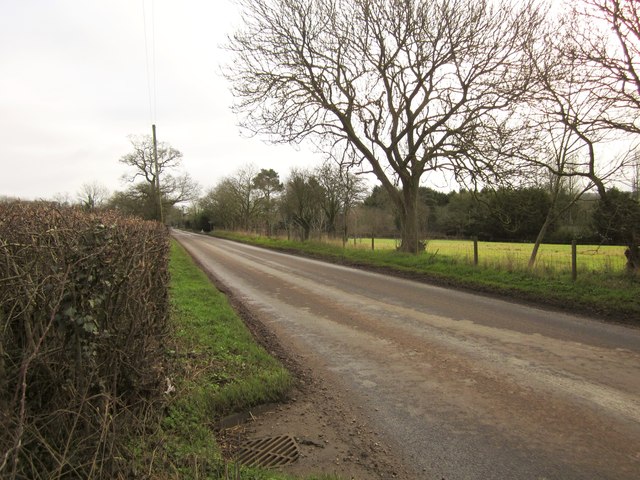
Image: © Derek Harper Taken: 25 Feb 2012
Uffculme Road runs straight for two kilometres between Willand and the western outskirts of Uffculme.
Images are licensed for reuse under creativecommons.org/licenses/by-sa/2.0
Image Location


Leaflet Map data © OpenStreetMap
Latitude
50.897924
Longitude
-3.352542