St. Andrews church, Chelmondiston, Suffolk
Introduction
The photograph on this page of St. Andrews church, Chelmondiston, Suffolk by Robert Edwards as part of the Geograph project.
The Geograph project started in 2005 with the aim of publishing, organising and preserving representative images for every square kilometre of Great Britain, Ireland and the Isle of Man.

There are currently over 7.5m images from over 14,400 individuals and you can help contribute to the project by visiting https://www.geograph.org.uk
St. Andrews church, Chelmondiston, Suffolk
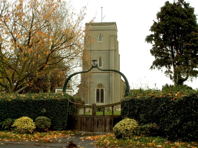
Image: © Robert Edwards Taken: 20 Nov 2006
The building of this church was completed in 1957. It replaced the 13th century church that was completely destroyed by a Second World War bomb.
Images are licensed for reuse under creativecommons.org/licenses/by-sa/2.0
Image Location
Latitude
51.990356
Longitude
1.210129