Wamil Hall, Worlington (1)
Introduction
The photograph on this page of Wamil Hall, Worlington (1) by ethics girl as part of the Geograph project.
The Geograph project started in 2005 with the aim of publishing, organising and preserving representative images for every square kilometre of Great Britain, Ireland and the Isle of Man.

There are currently over 7.5m images from over 14,400 individuals and you can help contribute to the project by visiting https://www.geograph.org.uk
Wamil Hall, Worlington (1)
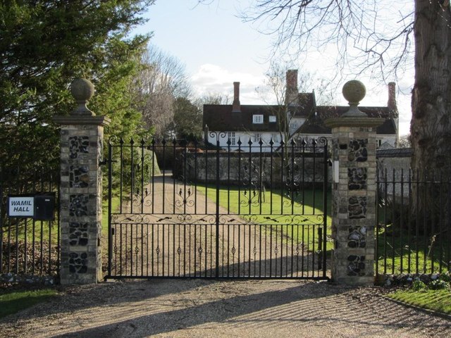
Image: © ethics girl Taken: 19 Feb 2012
The bare, winter trees reveal an interesting aspect of the architecture of Wamil Hall - a tall and thin section in the middle. The building is late 16th-Century and Grade II listed, see details at the British Listed Buildings website: http://www.britishlistedbuildings.co.uk/en-275897-wamil-hall-mildenhall
Images are licensed for reuse under creativecommons.org/licenses/by-sa/2.0
Image Location
Latitude
52.341472
Longitude
0.487289