The River Welland
Introduction
The photograph on this page of The River Welland by Peter Latham as part of the Geograph project.
The Geograph project started in 2005 with the aim of publishing, organising and preserving representative images for every square kilometre of Great Britain, Ireland and the Isle of Man.

There are currently over 7.5m images from over 14,400 individuals and you can help contribute to the project by visiting https://www.geograph.org.uk
The River Welland
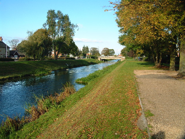
Image: © Peter Latham Taken: 10 Oct 2004
The River Welland at Spalding looking towards the twin bridges from the town side
Images are licensed for reuse under creativecommons.org/licenses/by-sa/2.0
Image Location
Latitude
52.794038
Longitude
-0.140793