Church Road, Iver Heath
Introduction
The photograph on this page of Church Road, Iver Heath by Graham Horn as part of the Geograph project.
The Geograph project started in 2005 with the aim of publishing, organising and preserving representative images for every square kilometre of Great Britain, Ireland and the Isle of Man.

There are currently over 7.5m images from over 14,400 individuals and you can help contribute to the project by visiting https://www.geograph.org.uk
Church Road, Iver Heath
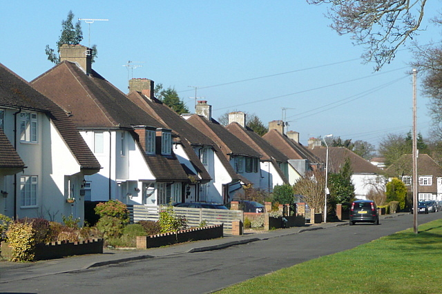
Image: © Graham Horn Taken: 23 Feb 2012
These 1950s houses are built on a service road back from the main road, which is to my right. Thus they are isolated somewhat from the constant traffic along that road.
Images are licensed for reuse under creativecommons.org/licenses/by-sa/2.0
Image Location
Latitude
51.541102
Longitude
-0.523396