Junction of Uxbridge Road and Church Lane
Introduction
The photograph on this page of Junction of Uxbridge Road and Church Lane by Graham Horn as part of the Geograph project.
The Geograph project started in 2005 with the aim of publishing, organising and preserving representative images for every square kilometre of Great Britain, Ireland and the Isle of Man.

There are currently over 7.5m images from over 14,400 individuals and you can help contribute to the project by visiting https://www.geograph.org.uk
Junction of Uxbridge Road and Church Lane
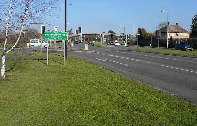
Image: © Graham Horn Taken: 23 Feb 2012
Heading north-east on the A412 Uxbridge Road, urban Slough suddenly gives way to rural Buckinghamshire. The county boundary, redefined in 1974, runs along the southern side of Church Lane to our left.
Images are licensed for reuse under creativecommons.org/licenses/by-sa/2.0
Image Location
Latitude
51.521204
Longitude
-0.564831