Rowley Lane
Introduction
The photograph on this page of Rowley Lane by Graham Horn as part of the Geograph project.
The Geograph project started in 2005 with the aim of publishing, organising and preserving representative images for every square kilometre of Great Britain, Ireland and the Isle of Man.

There are currently over 7.5m images from over 14,400 individuals and you can help contribute to the project by visiting https://www.geograph.org.uk
Rowley Lane
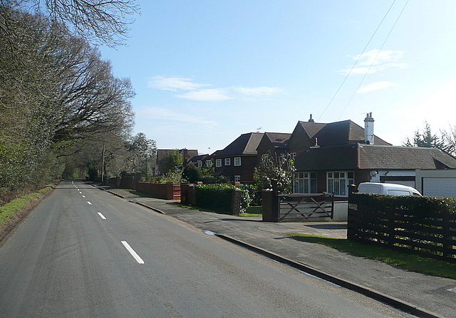
Image: © Graham Horn Taken: 23 Feb 2012
The western end of Rowley Lane has a number of individual houses and bungalows. Further east it becomes rural and wooded.
Images are licensed for reuse under creativecommons.org/licenses/by-sa/2.0
Image Location
Latitude
51.545357
Longitude
-0.569263