Track, Hedgefield
Introduction
The photograph on this page of Track, Hedgefield by Andrew Curtis as part of the Geograph project.
The Geograph project started in 2005 with the aim of publishing, organising and preserving representative images for every square kilometre of Great Britain, Ireland and the Isle of Man.

There are currently over 7.5m images from over 14,400 individuals and you can help contribute to the project by visiting https://www.geograph.org.uk
Track, Hedgefield
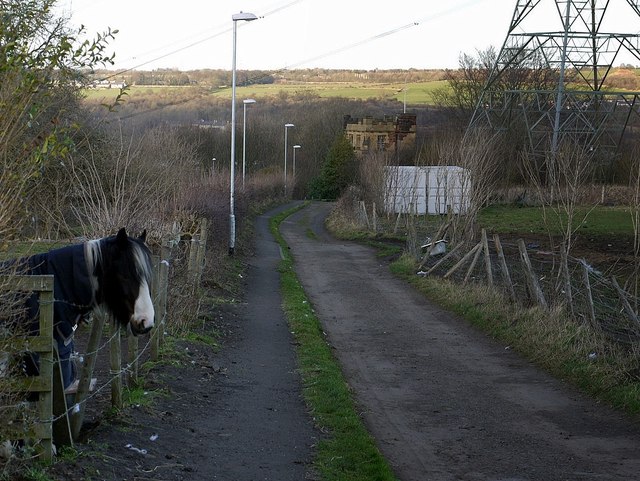
Image: © Andrew Curtis Taken: 24 Feb 2012
Track running downhill from Crookhill to the main road at Hedgefield. The tower of St Hilda's Church can be seen below.
Images are licensed for reuse under creativecommons.org/licenses/by-sa/2.0
Image Location
Latitude
54.970802
Longitude
-1.745193