Stamford Street West
Introduction
The photograph on this page of Stamford Street West by Gerald England as part of the Geograph project.
The Geograph project started in 2005 with the aim of publishing, organising and preserving representative images for every square kilometre of Great Britain, Ireland and the Isle of Man.

There are currently over 7.5m images from over 14,400 individuals and you can help contribute to the project by visiting https://www.geograph.org.uk
Stamford Street West
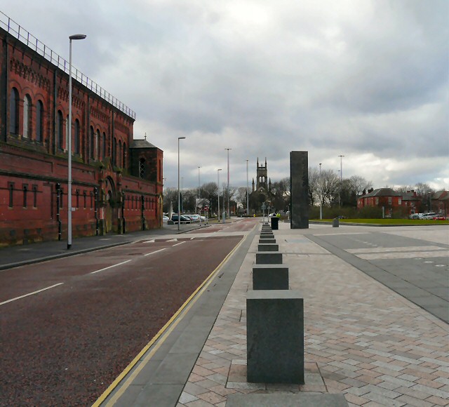
Image: © Gerald England Taken: 24 Feb 2012
Looking West down Stamford Street West. On the left hand side is the old Ashton Baths Image The right hand side was once rows of terraced houses and shops but these have all been cleared at part of St Petersfield development. To the right (out of picture) is the new Magistrates Court. In the background lies St Peter's Church Image
Images are licensed for reuse under creativecommons.org/licenses/by-sa/2.0
Image Location
Latitude
53.484793
Longitude
-2.102737