West End Park
Introduction
The photograph on this page of West End Park by Gerald England as part of the Geograph project.
The Geograph project started in 2005 with the aim of publishing, organising and preserving representative images for every square kilometre of Great Britain, Ireland and the Isle of Man.

There are currently over 7.5m images from over 14,400 individuals and you can help contribute to the project by visiting https://www.geograph.org.uk
West End Park
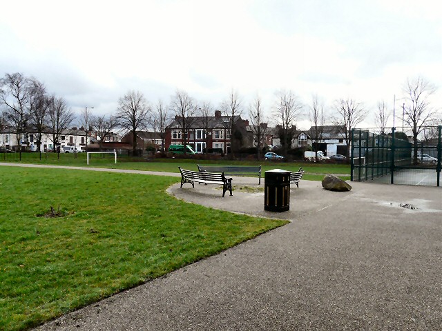
Image: © Gerald England Taken: 24 Feb 2012
Looking past a seating area with benches to the football pitch and William Street. To the right is the tennis court.
Images are licensed for reuse under creativecommons.org/licenses/by-sa/2.0
Image Location
Latitude
53.482991
Longitude
-2.107103