Pond near Cartgate Picnic Area
Introduction
The photograph on this page of Pond near Cartgate Picnic Area by Antony Dixon as part of the Geograph project.
The Geograph project started in 2005 with the aim of publishing, organising and preserving representative images for every square kilometre of Great Britain, Ireland and the Isle of Man.

There are currently over 7.5m images from over 14,400 individuals and you can help contribute to the project by visiting https://www.geograph.org.uk
Pond near Cartgate Picnic Area
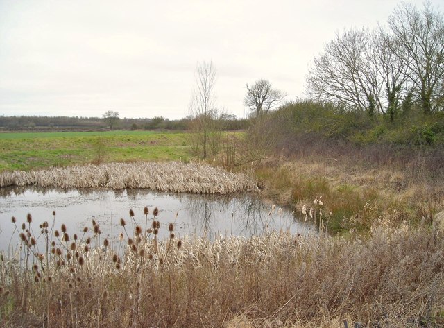
Image: © Antony Dixon Taken: 28 Feb 2012
The embankment of the old railway which used to run here can also be seen beyond the pond (though it's actually in the next square).
Images are licensed for reuse under creativecommons.org/licenses/by-sa/2.0
Image Location
Latitude
50.968052
Longitude
-2.743048